US-2 climbs the Skykomish River from Gold Bar to Stevens Pass, through old growth and past a string of waterfalls. Five Forest Service campgrounds and one state park cover the road. Two of the campgrounds sit on the South Fork below the town of Skykomish and take reservations. Two more sit on the North Fork past Index, behind a road closure at this check.
Wallace Falls State Park anchors the west edge under the most visited waterfall on US-2.
One highway and two agencies run everything in this guide. The Forest Service runs the five campgrounds and the dispersed sites on Beckler River Road. Washington State Parks runs Wallace Falls. Neither Snohomish County nor King County runs a campground anywhere on this segment, so there is no county option to weigh. This valley sits inside the wider Central Cascades camping country between Stevens Pass and Snoqualmie Pass.
The road’s searched weight sits in its trailheads rather than its campgrounds. The Lake Serene trailhead near Index and the falls at the state park lead it, and the hiking section is built to that shape.
Stevens Pass is the east edge of this guide. The road drops from the crest to Lake Wenatchee and the country covered by the Lake Wenatchee camping guide. Sultan is the last full service town on the west approach and Monroe is the hospital town. Neither takes camping coverage here.
I have backpacked to Lake Serene from its trailhead on this road, in June 2017. I have not stayed in any campground in this guide. The campground entries rest on what the Forest Service and State Parks publish, and on what campers report from their own stays.
In this guide
- Skykomish River camping at a glance
- US-2 and the Skykomish River
- Passes, fees, booking, and stay limits
- Money Creek Campground
- Beckler River Campground
- Wallace Falls State Park
- Troublesome Creek Campground
- Miller River Group Campground
- San Juan Campground
- Dispersed camping on Beckler River Road
- Hiking and trailheads
- Fire restrictions and emergencies
- Frequently asked questions
- Sources
Skykomish River camping at a glance
Six campgrounds carry full entries in this guide, in the order the entries below treat them. The two reservable South Fork campgrounds lead, the state park sits third, and the two North Fork campgrounds and the group camp follow. Each entry carries its own full Quick facts, so a campground’s row and its entry agree on the facts.
| Campground | Agency | Sites | Booking | Water | Nightly cost |
|---|---|---|---|---|---|
| Money Creek Campground | Forest Service | No count published; the agency record conflicts. See the entry. | Reservable through Recreation.gov, with two first come sites | Yes, at spigots | $36 to $80 for the 2027 season, May 21 to September 11, 2027. |
| Beckler River Campground | Forest Service | 26, with 22 single and 4 double | All sites reservable through Recreation.gov | Yes, by solar pump; supply can run intermittent | $36 to $72 for the 2027 season, May 21 to September 11, 2027. |
| Wallace Falls State Park | Washington State Parks | 2 walk-in tent sites, 5 cabins, and backcountry sites at Wallace Lake and Jay Lake | Tent sites first come; cabins reservable; backcountry sites by phone permit | Yes | Cabins from $55 in 2026 to $110 in 2027, by season. See the entry. |
| Troublesome Creek Campground | Forest Service | 25 | Reservable through Recreation.gov | Agency notice states water is available; campers report interruptions | $36 to $72 for the 2027 season, May 21 to September 11, 2027. |
| Miller River Group Campground | Forest Service | 1 group site | Reservation only through Recreation.gov | Yes, by hand pump | $360 for the group site in the 2027 season, May 21 to September 11, 2027. |
| San Juan Campground | Forest Service | 8 single | First come only; not on a reservation system | None; the campground is dry | None published on the campground’s managing page. |
Dispersed camping on Beckler River Road has its own section after the entries. See Dispersed camping on Beckler River Road. Three reservable rentals stand on this road and take no entries, because they are rentals and not campgrounds: Evergreen Mountain Lookout, Heybrook Lookout, and the Stevens Pass Guard Station.
Two absences run across the Forest Service campgrounds in this guide. None of the five offers showers, and no campground in the entry list has a dump station. Wallace Falls is the exception on showers, inside its own entry: its restrooms with showers stand near the tent sites, at 50 cents for three minutes.
Neither county runs a campground on this segment. Snohomish County’s parks with camping all stand off the road, and King County’s camping page presents one campground, Tolt MacDonald Park in Carnation, which is not on this road.
Sultan and Gold Bar are the west approach towns, and both carry groceries and fuel on US-2. Gold Bar is the last town before the road commits to the river, and the state park sits at its east edge. Stock up in one of the two towns rather than counting on anything east of Gold Bar.
The town of Skykomish has food at the Cascadia Inn, on the inn’s own record, and the lodges at Stevens Pass serve meals in their operating seasons. Between Gold Bar and the crest, no source we could check settles a place to buy supplies beyond those seats, and Index carries no reliable resupply. Carry what the trip needs from Sultan or Gold Bar.
Two private operations stand on the road. The Gold Bar Nature Trails Camping Club, at 16411 May Creek Road outside Gold Bar, is a private membership club and not public camping; membership is its only door. At the crest, the Stevens Pass resort allows overnight parking for self contained RVs in its Lot F. Reservations run through Recreation.gov for the 2026/27 season, and no tent camping is allowed.
US-2 and the Skykomish River
US-2 is the only road through this country, and the campgrounds sort into three geographies along it. Money Creek Campground sits on the South Fork Skykomish River below the town of Skykomish, directly on the highway. The Miller River Group Campground sits on the Miller River, reached by Miller River Road.
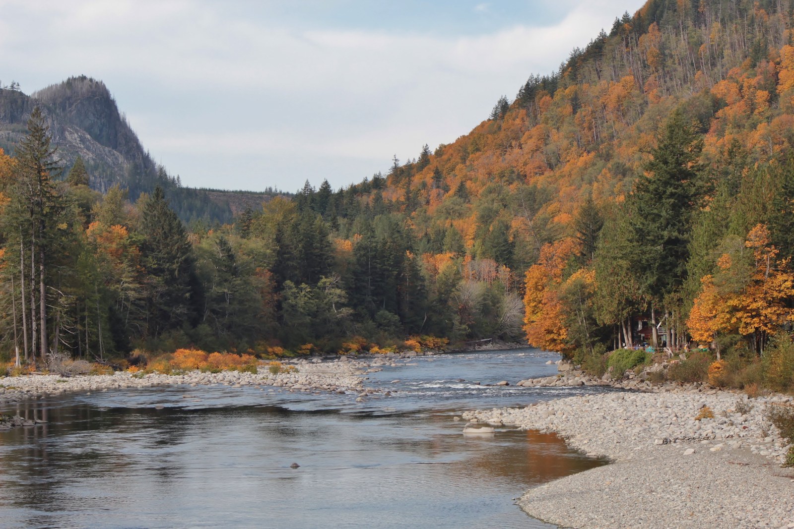
Beckler River Campground sits up Beckler River Road, Forest Road 65, which leaves the highway east of Skykomish and climbs toward Jack Pass. That road is also the dispersed layer’s road, and its continuation over Jack Pass is the North Fork’s second door when the road system is open. San Juan Campground and Troublesome Creek Campground sit on the North Fork Skykomish River past Index, up the Index-Galena Road, Forest Service Road 63. Plan the forks as separate trips. No route joins them above the highway, and the North Fork’s two doors both answer to the closure below.
The river floods this road. The Skykomish and its forks run high in the fall and winter storm cycles, and the river’s forks close at different times for water, slides, and washouts. The 2022 Bolt Creek Fire burn area between Index and Skykomish adds post fire flash flood risk to the same pattern.
Beckler River Campground’s lowest sites carry the flood exposure on its own record, stated in its entry. The dispersed sites up Beckler River Road carry theirs, stated in that section. A winter or early spring trip on any fork starts with the road and river conditions, not with the campground.
Westbound US-2 backs up on Sundays. Ski traffic in winter and summer day traffic funnel west through Gold Bar toward Monroe in the afternoon and evening. A Sunday departure from any campground on this road meets that flow. Leaving early or late in the day is the difference between a drive and a queue. The pattern is road pressure only; it says nothing about whether a campground filled.
The North Fork closure
Both North Fork campgrounds are inaccessible at this check. Recreation.gov states the position for both campgrounds in one notice: Troublesome Creek and San Juan Campgrounds are currently inaccessible due to road closures of the Index-Galena Road at milepost 10 and NF-65 west of Jack Pass. The Forest Service’s road alert for the Skykomish District adds the North Fork Skykomish bridge outage behind the NF-65 closure. No open vehicle route reaches either campground as the agency pages stand.
The closure is a pattern on this road rather than a single event. The Index-Galena Road washed out in November 2006 and stayed closed for 17 years. It reopened in November 2023 after relocation out of the floodplain. The December 2025 atmospheric river damaged it again, and damaged US-2 between Skykomish and Stevens Pass in the same storm cycle. A road with that history earns a check before every North Fork trip, in any season.
Check the Forest Service road damages and closures alert for the Skykomish District and the campground’s own agency page before any North Fork trip. Those two sources carry the closure’s current form, and no reopening date stands on any agency page at this check.
Passes, fees, booking, and stay limits
Four of the five Forest Service campgrounds book through Recreation.gov, each in its own form. Money Creek takes reservations with two first come sites held out of the system. Beckler River and Troublesome Creek are reservable across their sites. The Miller River Group Campground is reservation only, a single group product booked as one site. San Juan takes no reservations at all and is not on a reservation system; its sites go first come.
A reserved site is held until noon on the day after the scheduled arrival. Individual sites book on a 6 month rolling basis, and the Miller River group site books on a 12 month rolling basis. Availability for the 2027 season is released on November 21, 2026.
The stay limit on developed Forest Service campgrounds here is 14 days. The same developed site rules print across the US-2 campgrounds’ pages: dogs on leash, campfires in developed rings only, and fireworks prohibited. The pages state quiet hours in two forms. The regulations lines say 10 p.m. to 8 a.m.; the general information says 10 p.m. to 6 a.m. The Forest Service’s own pages do not reconcile them. The hours posted at the campground govern, so read the board on arrival.
A food storage order adds to the baseline along US-2. Forest Order 06-05-25-01, effective April 15, 2025 to April 15, 2027, requires food and garbage to be acceptably stored in a bear resistant container, a hard sided vehicle or trailer, or a food storage locker, or to be acceptably possessed, attended by a person physically present.
No pass pays a camping fee at any Forest Service campground. The campgrounds’ own day use costs $8 or a pass. Trailhead parking is a separate price: a Northwest Forest Pass or an interagency pass, $5 per vehicle per day or $30 for the annual pass. The Discover Pass is not valid on national forest lands and not valid at the campgrounds. Holders of the interagency senior and access passes save 50 percent on single site fees at the campgrounds whose records state it, as each entry’s Quick facts record.
Wallace Falls State Park runs on the state system rather than the federal one, and its entry carries the park’s own booking, fee, and stay record. The two systems never overlap on this road. Each pass pays at exactly one system: the federal passes cover Forest Service trailhead parking and campground day use, and the Discover Pass covers the state park. No pass pays for a night at any campground in either system; nights are paid campground by campground. Each campground also answers to its own county’s fire layer, split at Fire restrictions and emergencies.
Money Creek Campground
Quick facts: booking reservable through Recreation.gov, with two sites first come and reservations recommended for weekends; 2027 season May 21 to September 11; potable water at spigots; vault toilets; no hookups; nightly cost $36 to $80 for the 2027 season, May 21 to September 11, 2027; extra vehicle $12 per night, paid on arrival by cash or check; stay limit 14 days; check in 2 p.m. and check out 12 p.m.; dogs on leash; day use $8 or a pass; interagency senior and access pass holders save 50 percent on single site fees; maximum vehicle length 40 feet; 1 accessible site.
Money Creek Campground is one of the two reservable anchors on this road, in old growth at 880 feet on the South Fork Skykomish River below the town of Skykomish. Its Forest Service page names a swimming area on the river, the only campground swimming area in this guide. A river swimming area is a family asset out of proportion to its size, because it gives children an afternoon’s occupation at the site, and afternoons like that are the substance of what being outside does for children. The campground sits close enough to the highway and the railroad that its own record leads with noise, and that record decides which sites a camper should want.
The campground’s defining choice is which side of it you sleep on. The Forest Service states that sites 9 to 14 sit near the railroad tracks. Recreation.gov’s notice for the campground warns that traffic noise is heavy at times. Campers report freight trains through the night with horns, and they report it consistently enough that the pattern is this campground’s settled character. Sites on the river are partly masked by the sound of the water, and tent campers hear the trains most.
The same camper record praises the camp hosts, and the hosts and the firewood they sell here also serve the Miller River Group Campground up the road.
Money Creek is the reservable base for the South Fork. Its river sites go first, and summer weekends reward booking ahead. Campers reviewing the campground associate it with the drive east to the Bridal Veil Falls trailhead on US-2 near Index. That is a drive to a separate trailhead, not a trail connection from camp, and the falls hike itself is covered under Lake Serene and Bridal Veil Falls.
A reserved site here is held until noon on the day after the scheduled arrival date, which covers a late start from the city. The campground’s own pages carry seasonal closure banners at times. Recreation.gov carries the campground’s current status and rate.
Beckler River Campground
Quick facts: 26 campsites, 22 single and 4 double, with Recreation.gov booking 24 of the 26; all sites reservable through Recreation.gov; season May to September; potable water by solar pump; vault toilets; no hookups; nightly cost $36 to $72 for the 2027 season, May 21 to September 11, 2027; extra vehicle $12 per night; stay limit 14 days; check in 2 p.m. and check out 12 p.m.; dogs on leash; maximum vehicle length 40 feet; 1 accessible site; day use $8 or a pass; interagency senior and access pass holders save 50 percent on single site fees.
Beckler River Campground is the road’s other reservable anchor and its best settled campground. It stands on Forest Road 65 off US-2 near Skykomish at 1,000 feet, in old growth Douglas fir, cedar, and hemlock along the Beckler River. Where Money Creek trades in noise, this campground trades in quiet, and the contrast is the choice between the two.
The Forest Service describes the campground as an escape from the highway’s bustle, with river noise and a peaceful atmosphere. Its own camper record confirms the character at a steady grade: river sound reaches every site, reviewers describe the campground as quiet, and no reviewer in its record names trains. Camp hosts are praised in its record as well. The river does the masking here that the railroad undoes at Money Creek.
The Beckler Peak Trail leaves from the campground’s road, and camper records on The Dyrt and Campendium pair the campground with that hike. The campground also works a second job for the whole road. Recreation.gov’s page for Troublesome Creek names Beckler River as the place to buy firewood. Campers headed for the North Fork or the dispersed sites up this road should buy it before they leave the campground.
The Beckler River floods, and the lowest riverside sites are the exposed ones. That is exposure, stated with its checking instruction, and nothing in the agency record reports sites lost to the river; the Forest Service count stands at 26. Check the road and river conditions before a shoulder season trip.
The water supply carries the same caution in smaller form. Campers have found the spigots offline against earlier reports of them working, so treat the solar pump as intermittent and carry water rather than counting on it. Mosquitoes are a named evening problem in this campground’s camper record as well.
Wallace Falls State Park
Quick facts: three site forms, 2 walk-in tent sites, 5 cabins, and backcountry sites at Wallace Lake and Jay Lake; tent sites first come and not reservable, cabins reservable up to nine months ahead, backcountry sites by phone permit at (360) 793-0420 before the visit; potable water; restrooms and showers close by the tent sites, showers 50 cents for three minutes; no hookups at any form; cabin fees $79 peak, $69 shoulder, and $55 winter for 2026, then $100 and $110 peak, $85 and $90 shoulder, and $70 and $75 winter from January 1, 2027; backcountry sites carry a per night fee set when the permit is arranged; stay limit 10 nights in one park within a 30 day period and 90 days per calendar year across all state parks, under the state rule effective August 19, 2024; one party and eight people at most may use a site, and five at the backcountry sites; campsite check in 2:30 p.m. and check out 1 p.m., cabin check in 4 p.m. and check out 11 a.m.; pets on leash, and in cabins C3 and C4 only at $15 per night; quiet hours 10 p.m. to 6:30 a.m.; extra vehicle $10 per night; reservation fees $8 online and $10 by phone; day use parking on a Discover Pass, $10 for the day or $45 for the annual pass.
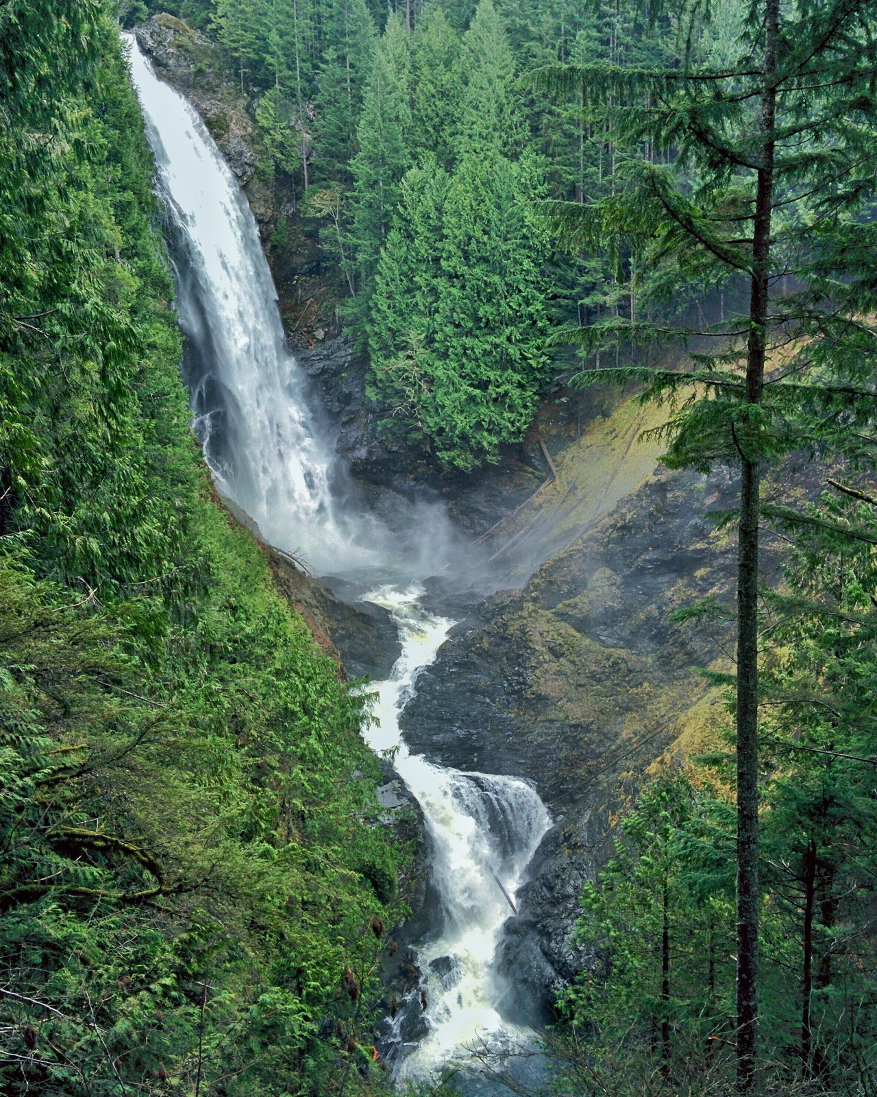
Wallace Falls State Park is the west edge of this guide, at 14503 Wallace Lake Road in Gold Bar, under the three tiered falls on the Wallace River. The park covers 1,380 acres of forest on the Wallace River. It is a day use destination first for most of its visitors. Its camping comes in three forms with three different mechanics, treated separately below. The falls trail itself is covered under Wallace Falls and the Greg Ball Trail.
Walk-in tent sites
The park’s two walk-in tent sites stand 20 to 50 feet from the parking area and are first come, with no reservation taken for them. The park describes them as very private, with picnic tables and fire rings, and two restrooms with showers close by.
The camper record for the whole park is small. Its reviewers praise clean bathrooms and a peaceful setting, with blackberries along the trails in July and August. Its one site specific caution rests on a single report: one party found the two sites lacked suitable trees for a hammock only setup. A tent party is the fit here; a hammock only party should plan on the backcountry sites or another campground.
Cabins
Five cabins, numbered C1 to C5, take reservations up to nine months ahead. Each cabin has a covered front porch, a picnic table, a fire pit, and a barbecue stand, with electricity inside. A cabin sleeps five on a bunk bed that sleeps three and a futon that sleeps two, with a table and four chairs, electric heat and lights, and locking doors. Bed linens are not provided, so bedding comes with the party. Cooking is allowed only in cabins with kitchenettes, and no smoking is allowed inside.
Bathrooms and showers stand nearby rather than inside. Two of the cabins are ADA accessible, and two take pets, cabins C3 and C4, at $15 per night for up to two pets. Each cabin’s covered front porch runs six feet, with chairs. One blog account of a cabin stay reports poor arrival wayfinding, with no staff or signage to meet the party on arrival. The fees above run in two schedules: the 2026 schedule through the end of this year, and the higher basic cabin schedule from January 1, 2027.
Backcountry sites at Wallace Lake and Jay Lake
The park’s third form is a backpacking trip inside a state park. Backcountry sites at Wallace Lake and Jay Lake are held by a permit arranged by phone with the park at (360) 793-0420 before the visit. The permit allows a maximum of five people per site, and a per night fee is set when the permit is arranged.
Campers who have made the trip describe the system consistently. Most reports describe a single tent site at Wallace Lake, on a flat sandy pad with a composting toilet and food storage hung on a wire. Jay Lake, about a mile further, holds several sites in a clearing at the lake, with its own composting toilet.
Those counts are campers’ descriptions, not the park’s published figures, and the permit call is where a party confirms what is open. The Greg Ball Trail is the quieter approach to both lakes, away from the falls crowds, and it is covered in the hiking section.
Day use and trailhead parking take a Discover Pass, and the pass pays nothing toward any night’s stay. The park’s own page also instructs visitors to check burn ban information before leaving, and that check lives at Fire restrictions and emergencies.
Troublesome Creek Campground
Quick facts: 25 campsites; reservable through Recreation.gov; season May to October; potable water, with a current Recreation.gov notice stating water is available; vault toilets; no hookups; nightly cost $36 to $72 for the 2027 season, May 21 to September 11, 2027; extra vehicle $12 per night; stay limit 14 days; check in 2 p.m. and check out 12 p.m.; pets allowed on leash; maximum rig 30 feet; 5 accessible sites.
Troublesome Creek Campground sits on the North Fork Skykomish River past Index at 1,200 feet, and it is inaccessible at this check. Recreation.gov’s notice names this campground and San Juan together, cut off by the Index-Galena Road closure at milepost 10 and the NF-65 closure west of Jack Pass, and the campground’s own Forest Service page carries the same position. Check the Forest Service road damages and closures alert for the Skykomish District and the campground’s Recreation.gov page before any North Fork trip. Everything below is the campground’s durable record.
The campground stands in mixed conifer where Troublesome Creek meets the North Fork, with a footbridge over the creek inside the campground and several sites at the river’s edge. Its record names steelhead and salmon fishing. On its own small camper record, this reads as the quietest campground on this road. Rushing water masks other sound, midweek stays are exceptionally quiet, and mosquitoes are a named evening problem in the same reports. Camp hosts are inconsistently present on that record.
The Troublesome Creek Nature Trail begins and ends at the campground, on Washington Trails Association reports, which makes the campground a trailhead camp as well as a river camp. When its road is open, this is the reservable North Fork base, the only one the fork has.
Water needs a plan here. The agency notice states that water is now available. Campers have reported interruptions beside that notice, so the pattern is check and carry: confirm the current notice and bring water regardless. Firewood is not sold on site; Beckler River Campground is the purchase point named for this campground, back toward the highway. The closure remains the governing fact until the agency pages say otherwise.
Miller River Group Campground
Quick facts: one reservable group site; reservation only through Recreation.gov; 2027 season May 21 to September 11; potable water by hand pump; vault toilets; no hookups; group cost $360 in the 2027 season, May 21 to September 11, 2027; stay limit 14 days; check in 2 p.m. and check out 12 p.m.; dogs on leash; gate keys are collected from a lock box at Money Creek Campground’s East Entrance Kiosk, with the code arriving in the Recreation.gov confirmation email; firewood and the camp host are at Money Creek, not on site.
Miller River Group Campground is the only Miller River camping on this road, and it is a group camp. No individual site campground stands behind the name. The camp sits about 3 miles off US-2 by the Old Cascade Highway and Miller River Road, at 1,350 feet on the Miller River. A group searching the individual campground name lands here, and this entry is the answer.
The site is built for a gathering: an open gathering area with a large charcoal grill, and the booking record describes capacity for up to 100 people and 18 vehicles. The internal layout is a set of campsites inside the one group site. The agencies state their count in two forms, so this guide books it as what it is, one group site for one party at a time. No noise record from any other Miller River property applies to this campground, and none is borrowed for it.
The Dorothy Lake trailhead stands up Miller River Road from the camp, and the camp is the lower landmark on that access road. No record opened for this guide shows a party camping here to hike Dorothy Lake, and this entry claims no such stay.
One road alert touches this camp’s road. The Skykomish District alert closes Miller River Road, FSR 6412, at milepost 1.75, which is above this camp’s access, and the alert does not name the campground closed. This entry claims no closure for the campground. The district alerts page is the check before a group trip, because a closure line that moves downhill would change the position.
San Juan Campground
Quick facts: 8 single campsites; first come first served only, not on a reservation system, concessionaire operated; season May to September; no potable water, the campground is dry, with river water filtered or treated before use; one vault toilet; no nightly fee is published on the campground’s managing page; stay limit 14 days; check in 2 p.m. and check out 12 p.m.; pets on leash; a picnic table and a fire ring at each site.
San Juan Campground is the smallest campground on the North Fork Skykomish River, and it is inaccessible at this check. Its own Forest Service page carries the closure in its current conditions: the Index-Galena Road is closed at milepost 10 and NF-65 is closed west of Jack Pass, and no open vehicle route reaches the campground. Check the Forest Service road damages and closures alert for the Skykomish District and the campground’s Forest Service page before any North Fork trip. The facts below are the campground’s durable record.
This is the smallest and driest campground on this road: eight single sites, no water, one vault toilet, and a picnic table and fire ring at each site. Its camper record is lean, two on topic reviews once the material about a different San Juan is set aside. Those reviews read it as private and quiet, with very light traffic on the forest road.
When the road system is open, San Juan is a first come North Fork base for a party that carries its own water. No trailhead pairing is claimed for it. No report opened for this guide pairs either North Fork campground with Lake Serene or Bridal Veil Falls, and the trip this campground serves is the fork itself. The Forest Service page puts the nearest services at 25 miles, to Skykomish for gas and groceries. Until the agency pages change, the closure governs any trip to this campground.
Dispersed camping on Beckler River Road
Dispersed camping outside the developed campgrounds is a standing opportunity on this national forest. It runs under the stay limit and food storage forms stated at Passes, fees, booking, and stay limits. The dispersed stay limit runs up to 14 consecutive days at one spot and no more than 28 days in a calendar year across the forest, under Forest Order 06-05-24-02. Confirm the current order on the forest’s alerts page before a long stay.
Camp on existing sites, at least 100 feet from water. No Forest Service page names a designated dispersed camping area on this road. The working sites are the established pullouts and clearings on Forest Road 65 past Beckler River Campground, climbing toward Jack Pass. Campers report them taken by mid afternoon on weekends. American Whitewater’s river record endorses dispersed camping along this river.
The road continues past Jack Pass toward the North Fork when the road system is open. It is not open beyond Jack Pass at this check, on the closure stated at The North Fork closure. The checking instruction there governs any trip that counts on the extension.
The road follows the river the whole way up, and the low sites near the water carry flood exposure in the storm season. Check the river’s level and the road’s condition before settling into a riverside site in the wet months.
The sanitation record is this section’s center, and it is split. Campers praise the large water side sites up this road. A detailed report describes a severe sanitation failure across roughly five checked sites, trash and waste left behind. A second reviewer reports cleaning up a site on arrival before using it. Both halves stand because both are in the record.
The instruction the record earns is direct. Pack out everything you carry in, and be prepared to move on from a site that has been left dirty rather than adding to it.
Two roundup listings get this road wrong, and the corrections matter for anyone searching it. The listings call this layer Beckler Creek; the river and the road are the Beckler River. The same listings describe the developed Beckler River Campground as dispersed camping; it is a developed, reservable campground with its own entry above. Water is carried in here. There are no services of any kind at the dispersed sites.
Hiking and trailheads
The trailheads carry this road’s weight. The Lake Serene trailhead and Wallace Falls each draw more searching and more visiting than every campground on the road. Campers plan their stays around these hikes rather than the other way around.
My own firsthand experience in this layer is the Lake Serene backpacking trip stated in its subsection below, and my hikes at Wallace Falls State Park, which I have done multiple times. Every other trail here is reported from the agencies and Washington Trails Association, not from my own boots.
Parking runs on the pass stack stated in the system section. Forest Service trailheads take a Northwest Forest Pass or an interagency pass at $5 per vehicle per day or $30 for the annual pass. Wallace Falls takes the Discover Pass, $10 for the day or $45 for the annual pass. The Pacific Crest Trail trailhead at Stevens Pass adds a free wilderness permit, filled out at the trailhead. Trailhead lots fill on summer weekends, and the Sunday westbound return is stated once at US-2 and the Skykomish River.
Wallace Falls and the Greg Ball Trail
The park’s trail system starts with the Woody Trail. It climbs past the lower, middle, and upper falls viewpoints at 5.6 miles roundtrip with 1,300 feet of gain on Washington Trails Association’s figures. I have hiked the trails in this park multiple times.
The Greg Ball Trail runs over four miles from the falls area to Wallace Lake and Jay Lake, where the park’s backcountry sites sit. That camping form is covered in the park’s entry at Backcountry sites at Wallace Lake and Jay Lake. A quarter mile interpretive trail rounds out the system near the trailhead. Parking takes the Discover Pass, as the introduction states.
Lake Serene and Bridal Veil Falls
One trailhead on US-2 near Index serves both destinations. Washington Trails Association’s first line for the hike is its parking rule: a Northwest Forest Pass is required at the lot. Bridal Veil Falls is the spur on the way up, at 4.0 miles roundtrip and 1,000 feet of gain on WTA’s structured figures. It is reached at a signed split that WTA’s two pages place at 1.5 to 1.7 miles from the trailhead.
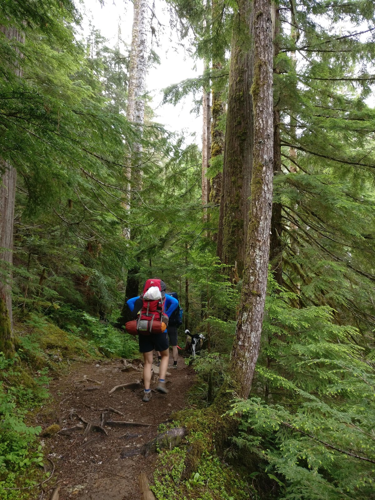
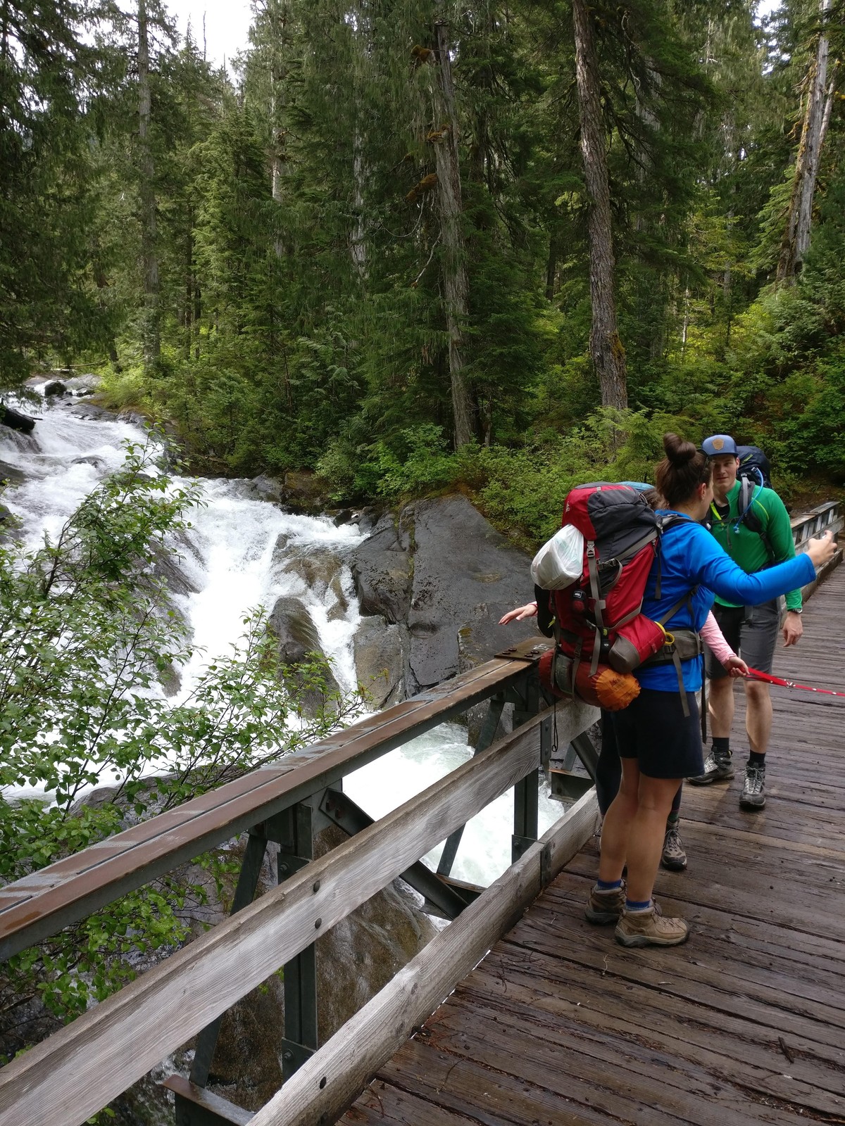
Lake Serene itself is 8.2 miles roundtrip and 2,000 feet on the same figures. WTA’s own page reconciles the pair: 7.2 miles for the lake alone, with the falls detour adding the other mile.
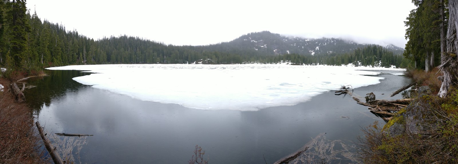
I backpacked Lake Serene on June 10, 2017, a party of two with a black and white dog. Bridal Veil Falls was on the approach, and the lake was partly ice covered that day. That trip is my one firsthand trip on this road, and it was a backpacking trip from the trailhead, not a campground stay. No developed campground on this road is a Lake Serene basecamp in any record opened for this guide, and no entry above claims the pairing. The lake is reached from its own trailhead, as a day hike or a backpacking trip, and the campgrounds serve other water.
Iron Goat Trail
The Iron Goat Trail runs 6.0 miles roundtrip with 700 feet of gain on WTA’s figures. It is a gentle interpretive walk on the 1893 Great Northern railroad grade. Almost three miles of it is ADA accessible from the Martin Creek trailhead, with interpretive signs along the grade. Its tunnels are unsafe to enter, on WTA’s own hazard note. The trail closes in winter in the avalanche terrain of the Wellington disaster.
Parking at the Wellington trailhead costs $5 per vehicle per day, with the Northwest Forest Pass and interagency passes honored and the Discover Pass not valid. The pairing here is a day hike drive only. No camper base for the Iron Goat exists in the record opened, and the one report that names lodging near it names a hotel in Index.
Deception Falls
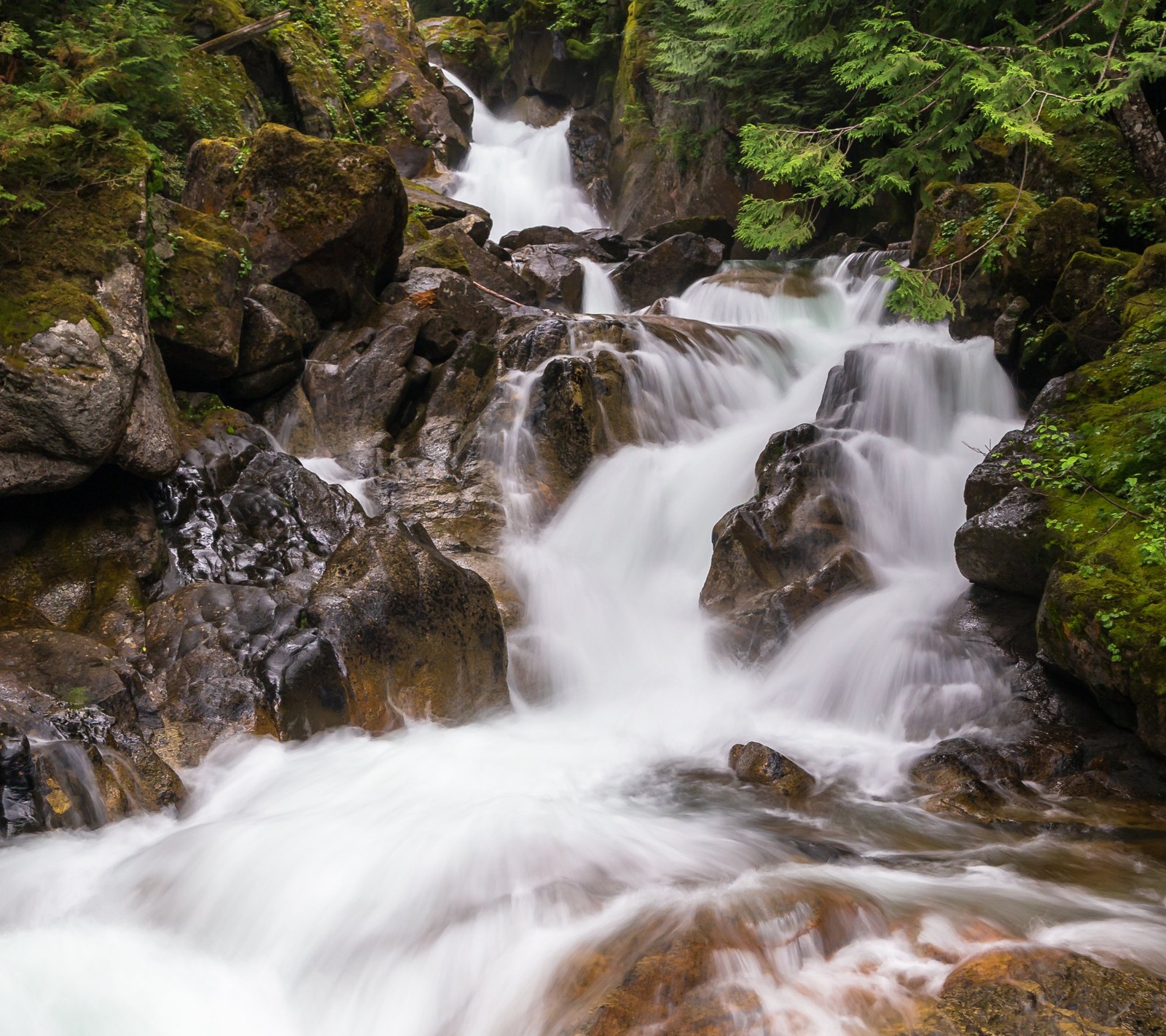
Deception Falls is a roadside stop east of Skykomish. Its interpretive loop runs 0.5 mile with 50 feet of gain on WTA’s figures. The rest area has a vault toilet, picnic tables, and an accessible covered picnic shelter, and it is generally open from Memorial Day to Labor Day. A 0.2 mile ADA accessible section reaches a bridge over the upper falls. It is a leg stretch on the drive to the pass, not a destination hike.
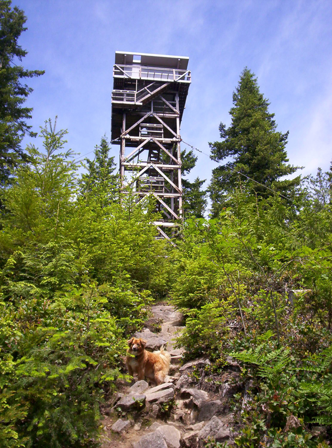
Heybrook Lookout
Heybrook Lookout climbs 2.0 miles roundtrip with 980 feet of gain to a highest point of 1,800 feet, on the figures in WTA’s guide listing. Its trailhead is a gravel lot on US-2 with a kiosk and no facilities. The tower’s viewing area is reached by 89 steps. The lookout cabin itself is one of the reservable rentals named at the at a glance table, a rental and not a campground, and it takes no camping coverage here.
The Pacific Crest Trail at Stevens Pass
The Pacific Crest Trail crosses US-2 at Stevens Pass. The two sources for its southbound leg state their mileages in two forms that both print here and are never averaged. The Forest Service states the PCT from Stevens Pass to Snoqualmie Pass at 67 trail miles. Washington Trails Association’s Section J listing states 74.7 miles one way with 16,000 feet of gain.
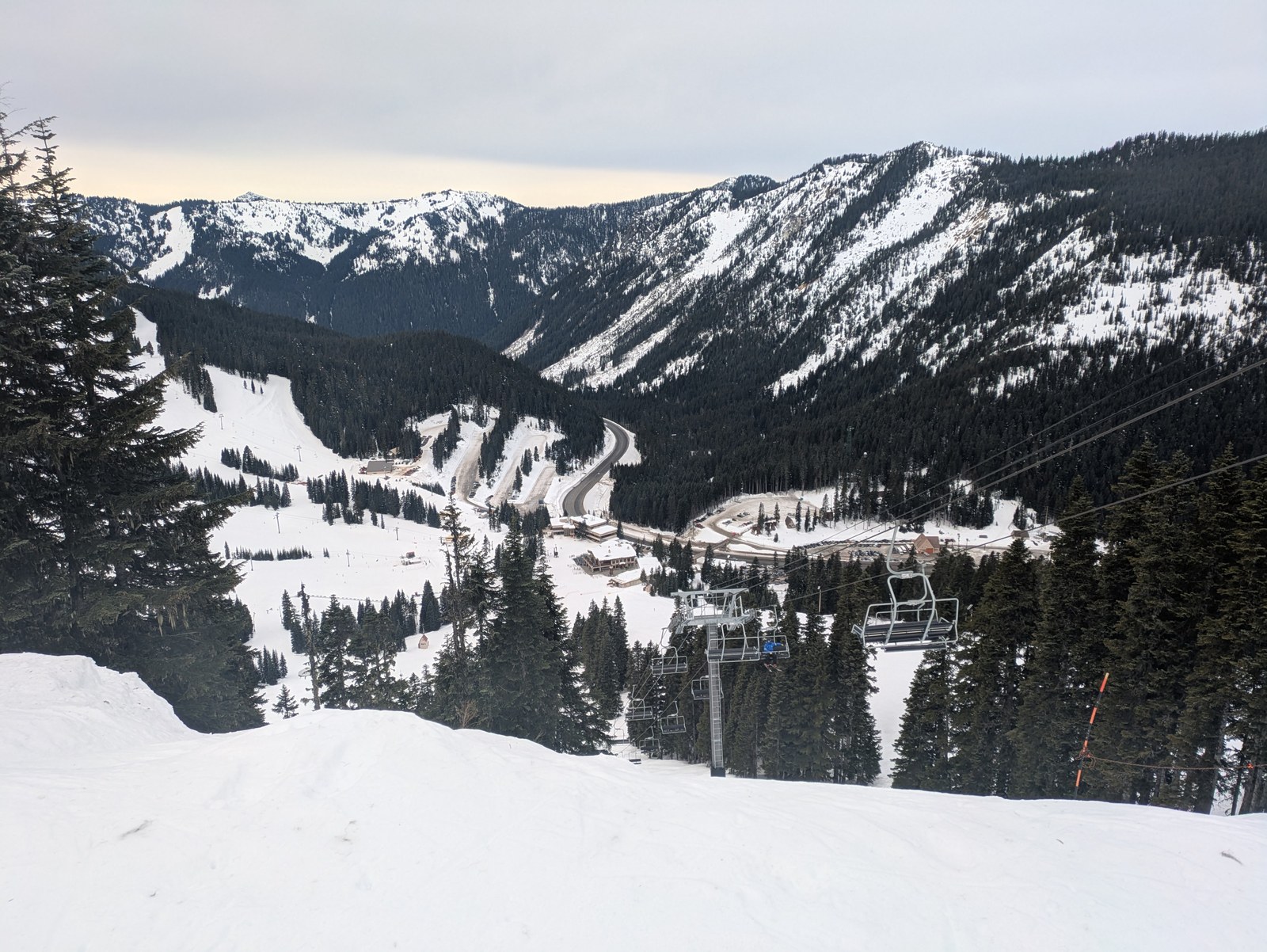
Parking at the trailhead takes an annual recreation pass or a $5 day pass. A free wilderness permit is filled out at the trailhead, and the trail runs in the Alpine Lakes Wilderness for the entire distance. Resort lot parking for PCT hikers is a separate form, stated in the private passage at the at a glance section. I have not hiked the Pacific Crest Trail from Stevens Pass; this subsection is reported from the two sources named.
Fire restrictions and emergencies
Fire restrictions
Fire rules stack, and the strictest applicable layer governs. Check in this order. First, the land agency, because its order governs the campground itself. At the Forest Service campgrounds, campfires are allowed in developed rings only, plus any forest fire order in force, checked on the Forest Service alerts page. At Wallace Falls, fires are allowed in designated areas, and the park page’s own instruction is to check burn ban information before leaving.
Second, the county layer, which splits by campground on this road.
Money Creek, the Miller River Group Campground, and Beckler River sit in King County. They answer to the King County Fire Marshal through the county’s Fire Safety Burn Bans page. The page carries the standing framework in two stages, Stage 1 and Stage 2, with the stage in force posted there.
In King County’s standing framework, Stage 1 bans yard debris and land clearing fires. Recreational fires are allowed only in a metal or concrete fire pit no larger than three feet wide, at least 25 feet from any structure, attended, and not in wind over 15 miles per hour. Stage 2 bans all outdoor fires, with manufactured gas and charcoal devices still allowed.
San Juan, Troublesome Creek, and Wallace Falls sit in Snohomish County. They answer to the Snohomish County Fire Marshal, checked on the Outdoor Burning Information Hotline at 425-388-3508, with SnoCoAlerts carrying the county’s announcements. A ban at any layer ends the campfire regardless of what the other layers allow.
Emergencies
Call 911 first in any emergency. Monroe is the hospital town for this road: EvergreenHealth Monroe, at 14701 179th Ave SE in Monroe, (360) 794-7497, runs a Level IV Trauma Center emergency department. Providence Regional Medical Center Everett, at 1700 13th St in Everett, (425) 261-2000, is the larger Level II referral.
Two alert systems cover the road’s two counties: SnoCoAlerts for Snohomish County and ALERT King County, at kingcounty.gov/alert, for King County. Cell coverage is stated for no campground on this road by any agency source, so treat it as unplanned for. Download maps and the Recreation.gov app before leaving Sultan or Gold Bar, and do not count on a signal at camp.
Frequently asked questions
Where can you camp near Stevens Pass?
On this road, the two reservable South Fork campgrounds below Skykomish, Money Creek and Beckler River, the Miller River Group Campground, and Wallace Falls State Park at the west edge. The resort’s own overnight RV lot stands at the pass itself, and the two North Fork campgrounds sit behind the road closure at this check. See Skykomish River camping at a glance.
Can you camp at Wallace Falls?
Yes, in three forms: two first come walk-in tent sites, five reservable cabins, and backcountry sites at Wallace Lake and Jay Lake by phone permit. See Wallace Falls State Park.
Is there a campground at the Lake Serene trailhead?
No. No developed campground serves the trailhead, and no campground on this road pairs with Lake Serene as a basecamp in any record opened for this guide. The lake is a backpacking or day trip from its own trailhead, the trip I made in June 2017. See Lake Serene and Bridal Veil Falls.
Are San Juan and Troublesome Creek campgrounds open?
Both are inaccessible at this check on the managing agency’s own pages. The Index-Galena Road is closed at milepost 10 and NF-65 is closed west of Jack Pass, and no agency page states a reopening date. Check the Forest Service road damages and closures alert for the Skykomish District and each campground’s agency page before planning around either campground. See The North Fork closure.
Do you need a pass to camp on the Skykomish River?
No pass pays a camping fee anywhere on this road. Trailhead parking takes a Northwest Forest Pass or an interagency pass at $5 a day. The Forest Service campgrounds’ own day use is $8 or a pass, which prices a different thing. Wallace Falls day use takes a Discover Pass, which pays nothing at any Forest Service campground. See Passes, fees, booking, and stay limits.
Can you reserve a campsite on the Skykomish River?
Yes. Money Creek, Beckler River, and Troublesome Creek book through Recreation.gov, the Miller River group site books as one group reservation, and the Wallace Falls cabins reserve in the state system. San Juan and the Wallace Falls tent sites are first come only. Individual sites book on a 6 month rolling basis and the Miller River group site on a 12 month rolling basis, and availability for the 2027 season is released on November 21, 2026. See Passes, fees, booking, and stay limits and each campground’s Quick facts.
Is there drinking water at the campgrounds?
Money Creek and Beckler River have potable water, with Beckler River’s solar pump intermittent on the camper record, so carry extra water there. Troublesome Creek stands under a current agency notice that water is available, with reported interruptions beside it, so carry water for that campground too. San Juan has no water at all. Wallace Falls has potable water, and the Miller River group site has water by hand pump. See each campground’s Quick facts.
Are there showers or a dump station?
No showers at any Forest Service campground on this road, and no dump station at any campground in this guide. Wallace Falls has showers near its tent sites at 50 cents for three minutes. See Skykomish River camping at a glance.
How long can you stay?
Fourteen days on the Forest Service developed campgrounds. Wallace Falls runs on the state park system rule of 10 nights in one park within a 30 day period. Dispersed camping carries its own limit, stated in its section. See Passes, fees, booking, and stay limits.
Can you have a campfire?
In developed rings only at the Forest Service campgrounds and in designated areas at Wallace Falls, under the strictest applicable fire layer. The county layer splits by campground. King County covers Money Creek, Miller River, and Beckler River, and Snohomish County covers San Juan, Troublesome Creek, and the park. The checking routes for both are stated at Fire restrictions and emergencies.
Where can a group camp on the Skykomish River?
At one facility, the Miller River Group Campground: one reservable group site, with its gate key collected from a lock box at Money Creek Campground. See Miller River Group Campground.
Sources
Forest Service campground and trail pages for the Mt. Baker-Snoqualmie National Forest, Skykomish Ranger District, including the Deception Falls Picnic Area and Deception Falls Trail pages and the forest’s passes page. Recreation.gov facility pages for Money Creek Campground, Beckler River Campground, Miller River Group Campground, and Troublesome Creek Campground, and the RIDB facility and campsite records behind them. Forest Order 06-05-25-01 on food storage and Forest Order 06-05-24-02 on dispersed stay limits. Washington State Parks, Wallace Falls State Park, with its camping and fees pages and the park brochure. Washington Trails Association hike pages for Wallace Falls and the Greg Ball Trail, Lake Serene and Bridal Veil Falls, the Iron Goat Trail, Deception Falls, Heybrook Lookout, and Pacific Crest Trail Section J. Snohomish County Fire Marshal outdoor burning information and SnoCoAlerts. King County Fire Safety Burn Bans page and ALERT King County. King County Parks camping page. Camper reports from Recreation.gov, The Dyrt, Campendium, and Washington Trails Association trip reports, each used as its entry describes.