The Central Cascades run from Stevens Pass and US-2 south to Snoqualmie Pass and Interstate 90, taking in the crest of the range and both of its slopes. The Alpine Lakes Wilderness sits at the center of the region. Around it, eight camping valleys and lake basins spread out, each reached by its own road and each booking its campsites its own way.
On the west slope, campgrounds line forested river valleys under the crest. On the east slope, the country opens up, drier and sunnier, with big lakes and ponderosa pine. A trip here can mean a state park beach on Lake Wenatchee, a river site on the Skykomish, or a first come campsite under the Teanaway pines, and the planning for each looks nothing like the others.
Eight valleys, eight roads, and no shared booking rule. This page carries what a choice between them asks of you before you go: how each valley books and how far ahead, when its campgrounds open and close, and what a night there costs in round terms. The catch that comes with each valley stands in its card. The campgrounds themselves, entry by entry, sit one click down in each valley’s own guide. The Central Cascades are one region in the Washington campgrounds by region guide, which gathers the state’s camping regions in one place.
Our knowledge of this region is backpacking knowledge, and it belongs to the hammock years. It began at Ice Lakes in July 2015, an off trail trip at the region’s Entiat edge, in the high country north of the camping valleys this page covers. The Enchantments followed in August 2015, then Peggy’s Pond and the climb of Mount Daniel in August 2016, Goat Lake off the Mountain Loop Highway in August 2017, and Seven Fingered Jack in August 2021. A dated trip to Lake Serene falls in June 2017, and Tuck and Robin Lakes stand on the backpacking list without a date.
We have not stayed in a developed campground in this region. The campground guidance on this page is built from the campgrounds’ operators and the land managers’ own pages, checked in November 2026, and it rests on those pages throughout.
In this guide
Central Cascades camping at a glance
The region holds eight camping areas, eight roads, and no shared booking rule, and the table below lays them side by side. Read it in two passes. The first columns give each area’s shape, its gateway town, its character, and its anchor campgrounds. The season column gives the shape of its camping year. The last column, how a site there is actually claimed, is where trips in this region are won and lost.
Two areas can sit the same drive from home and ask opposite plans of you, one booked months ahead and the other claimed by arriving on a Thursday.
| Area | Gateway | Character | Anchor campgrounds | Season | How you get a site |
|---|---|---|---|---|---|
| The Mountain Loop Highway | Granite Falls and Darrington | A scenic byway across the region’s northwest shoulder, with river campgrounds under big trees | Verlot, Gold Basin, Turlo | Summer only. The loop road itself closes gate to gate from about November to the end of May | Reservations and first come sites through Recreation.gov, and the county parks book through Snohomish County |
| The Skykomish River | Gold Bar and Skykomish | The US-2 west slope, a working river valley climbing to Stevens Pass | Money Creek, Beckler River, Miller River | Mostly May to October. Two campgrounds on the North Fork sit closed behind a washed out road | Reservations and first come sites through Recreation.gov |
| Lake Wenatchee and the Chiwawa River | Leavenworth | A big mountain lake and the three river roads that feed it | Lake Wenatchee State Park, Nason Creek, Glacier View | The state park stays open all year; its campgrounds close under snow. The Forest Service campgrounds run May to October | State park reservations up to nine months ahead, and Glacier View on the lake is first come only |
| The Entiat River | Entiat | A single river road up a fire shaped valley, from the Columbia to the Glacier Peak Wilderness | Entiat City Park, Pine Flats, Fox Creek | The city park runs March 16 to November 13. The upper valley stands closed under a fire order through April 30, 2027 | The city park books through CampSpot, Lake Creek and the group sites book through Recreation.gov, and the rest are first come |
| Icicle Creek | Leavenworth | One road into the Alpine Lakes trailheads, with Leavenworth at its foot | Eightmile, Johnny Creek, Bridge Creek | May to October, the longest season of the region’s Forest Service valleys | Eightmile splits its sites, about 60 percent reservable and 40 percent first come |
| Salmon La Sac and the Cle Elum River | Cle Elum | A high river valley at 2,400 feet, and the trailheads for the Cathedral Rock country | Salmon La Sac, Wish Poosh, Owhi | Late spring to early fall, shorter at the high sites | The split sits inside one campground, about 40 of Salmon La Sac’s 69 sites reservable and almost 30 first come |
| The Teanaway and Blewett Pass | Cle Elum | A community forest of ponderosa pine, and the US-97 link north toward Leavenworth | 29 Pines, Indian Camp, Teanaway Camping Area | Spring to fall. The community forest campgrounds close for the winter | First come only at the community forest campgrounds, with a Discover Pass as the whole cost, and Forest Service campgrounds stand along US-97 over Blewett Pass |
| Kachess Lake | Easton | A reservoir lake just east of Snoqualmie Pass, an hour from the city | Kachess Campground | Early June to mid September, the shortest season in the region | Individual sites book on a six month rolling window through Recreation.gov, with a first come remainder claimed on arrival |
Two rows break the region’s May to October pattern, and they are the two ends of a first timer’s year. Entiat City Park opens on March 16, weeks before anything else, and Lake Wenatchee State Park stays open all year while its campgrounds close under snow. Every other row runs on snow and road crews as much as on the calendar, which is why the season column gives shapes rather than dates, and each valley’s guide gives the dates themselves.
Choosing your valley
Choose by three things, in this order. Water first, because it decides the trip’s shape: a lake beach at Lake Wenatchee or Kachess, a river bank on the Skykomish or the Cle Elum, or a high valley under the wilderness edge. Booking certainty second, because it decides when you have to act. A state park site books nine months out, a split campground is entered through its reservable half, and a first come valley asks for an early arrival instead. Drive third, because every valley in this region is a single road in and out, and the road is part of the stay.
The Mountain Loop Highway
The Mountain Loop Highway links Granite Falls and Darrington across the region’s northwest shoulder, and its campgrounds string along the South Fork Stillaguamish River. Verlot, Turlo, Gold Basin, Red Bridge, Bedal, and Clear Creek are Forest Service campgrounds, and two Snohomish County parks, Squire Creek and River Meadows, stand at the loop’s west approach. The camping suits anyone who wants the drive itself to be part of the trip, with river sites, big trees, and trailheads all along one road.
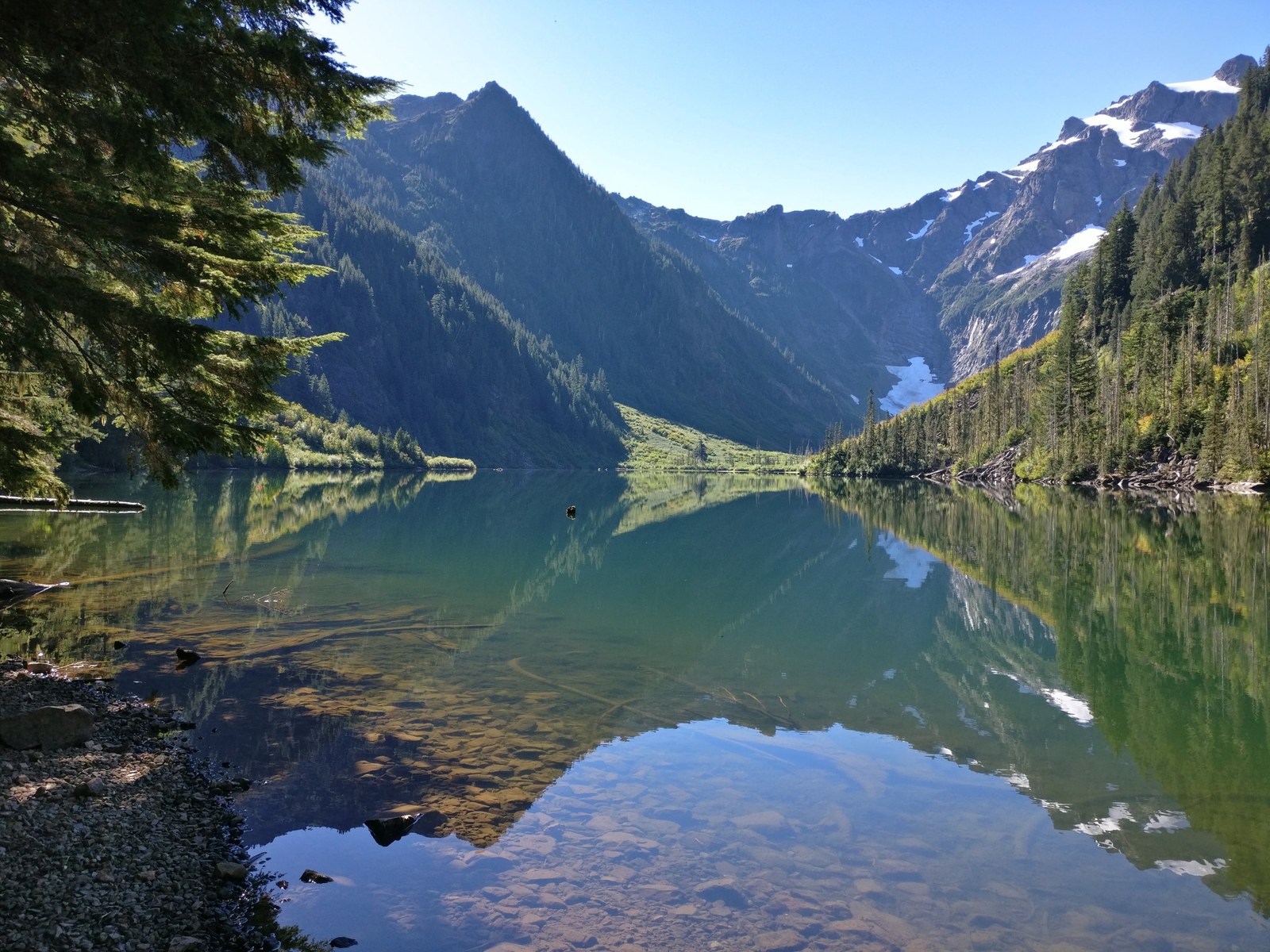
Our own knowledge of the loop is day knowledge, built over years of trailheads. The list runs Lake Twentytwo in winter, Dickerman, Gothic Basin more than once, the Big Four Ice Caves, and Pilchuck’s summit. Goat Lake, off this highway, is one of our favorite backpacking areas anywhere in the state.
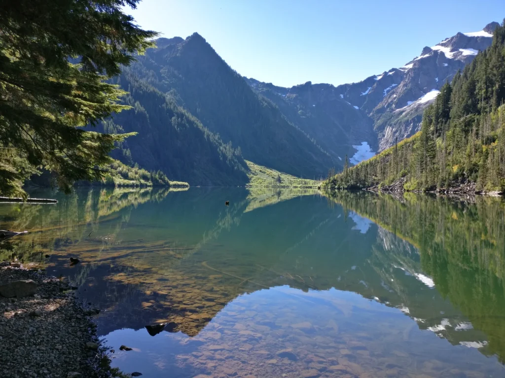
The Forest Service campgrounds book through Recreation.gov, splitting their sites between reservations and first come arrivals, and the two county parks book through Snohomish County’s own system. A second vehicle costs $12 a night at the Forest Service campgrounds. Nightly rates on the loop vary by campground, and the loop’s own guide carries the current figure for each one rather than a valley band here.
The county parks run their own form at the loop’s west approach. Squire Creek and River Meadows book through the county’s online system, and a weekend reservation there takes both Friday and Saturday nights together. Between the federal split, the county system, and the gates, this one road uses more of the region’s booking shapes than any other valley on the page.
The season is the first fact to learn on this road. The loop closes gate to gate for winter, Deer Creek Gate to Bedal Creek Gate, normally from early November until the end of May, and it reopens in stages, the west end first. The road stays open to people on foot and on skis while the gates stand closed, but no car camping trip runs up it. In season, water splits by campground: Verlot carries potable water at spigots, while Clear Creek and Bedal carry none, so a loop camper checks the campground’s own water before packing.
The catch is the road’s middle, and then its calendar. Part of the loop is gravel, washboarded and dusty in summer, and the whole of it sleeps under a gate all winter. Verlot, Gold Basin, and the rest of the campgrounds along the loop are treated campground by campground in our Mountain Loop Highway camping guide.
The Skykomish River
US-2 climbs the Skykomish River valley from Gold Bar to the Stevens Pass crest, and the campgrounds sit along the river and its forks. Five Forest Service campgrounds serve the valley: Money Creek, Beckler River, and Miller River on the main stem, with Troublesome Creek and San Juan Campground up the North Fork. Wallace Falls State Park adds state park camping at Gold Bar, at the west end of the valley. This is the closest crest country to the Everett and Snohomish County side of the region, a working river valley with trailheads all the way up it. Lake Serene, above the valley floor near Index, is where our own dated trip in this valley went, in June 2017, and Wallace Falls below it is a hike we have made many times over the years.
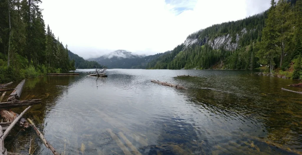
The Forest Service campgrounds book through Recreation.gov, most of them splitting reservations against first come sites, and Wallace Falls books through the state parks system. This valley runs pricier than the region’s east side: Money Creek’s sites run $36 to $80 a night and Beckler River’s $36 to $72, with the Miller River group site at $360. The state park’s cabins follow the state schedule, with its 2027 rates already printed beside the current ones in the valley’s guide.
Miller River, near the town of Skykomish at the valley’s head, is the group campground, and its $360 rate is the valley’s group price. Wallace Falls camps in cabins rather than tent sites, which makes the state park the valley’s cabin option on a wet weather trip, booked through the same state system as Lake Wenatchee, with its 2027 cabin schedule taking effect on January 1, 2027.
The season runs mostly May to October, with Money Creek carrying a seasonal closure whose dates stand on its Recreation.gov listing. Two of the five Forest Service campgrounds are not in that season at all right now. Troublesome Creek and San Juan sit on the North Fork Index-Galena Road behind a washout, closed until the road is repaired, and the valley’s guide carries the closure’s current state. The campgrounds carry potable water, by spigot, hand pump, or solar pump depending on the campground, and each entry in the valley’s guide states its form.
The catch here is noise, and it splits by site rather than by campground. Trains and the highway run with the river through this valley, and at Money Creek the settled advice from campers is positional. Take a river site, where the water covers the sound, and avoid the side of the campground nearest the tracks. Money Creek, Beckler River, and the rest of the campgrounds along the river are treated campground by campground in our Skykomish River camping guide.
Lake Wenatchee and the Chiwawa River
Lake Wenatchee is the region’s big lake, reached from Leavenworth by US-2 and SR 207, and three river roads feed it, the Little Wenatchee, the White River, and the Chiwawa. Lake Wenatchee State Park anchors the camping with 197 sites, and Forest Service campgrounds stand at Nason Creek on the river, on the lake’s south shore at Glacier View, and up the Chiwawa River road. The area suits swimmers, boaters, and families who want a lake first and trails second. That lake-first shape is the family trip at its most efficient, a full day of unstructured time outside, and unstructured time is the input that our guide to the benefits of being outside ties to healthy development in children. Our own trips in this country ran up the Chiwawa side, where we climbed Seven Fingered Jack by way of Leroy Creek in August 2021, and the state park itself we know as a day visit, not a stay.
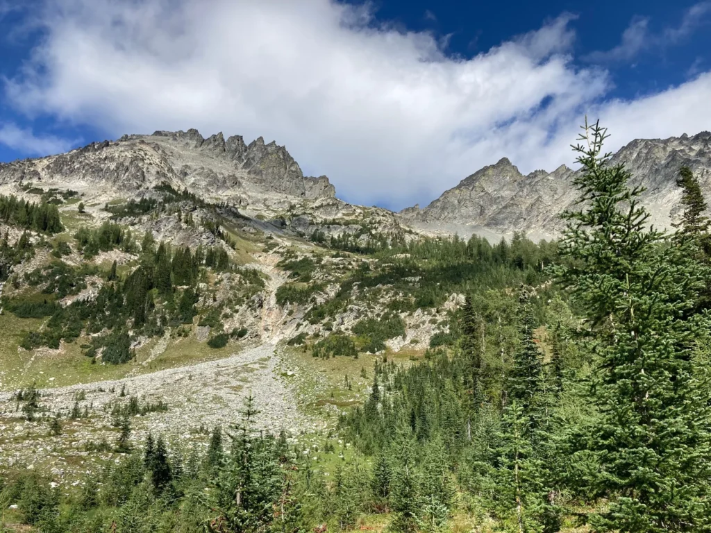
The state park books through Washington State Parks up to nine months ahead, and as late as 2 p.m. on the arrival date. Its North Campground carries partial utility sites, and its peak season rates run $31 to $43 for a standard site and $41 to $51 with partial utilities. The park’s services are the region’s fullest: a trailer dump at $5, a boat launch at $7, and extra vehicles at $10. Nason Creek, up the Little Wenatchee road, runs $27 a night with about 60 percent of its 73 sites reservable through Recreation.gov.
The Chiwawa River road runs simpler and cheaper: its campgrounds, Goose Creek among them, run $22 a night with an $11 extra vehicle fee, first come and paid by Scan and Pay on site. The price of that simplicity is the road itself, a long gravel climb where the campgrounds spread out and thin as it rises.
The state park stays open all year on paper and snow bound in fact. Its campgrounds close once snow arrives, typically between October and mid November, and reopen in spring, typically April to mid May. Winter camping runs first come in a designated part of the South Park day use area. The Forest Service campgrounds run May to October. Water takes planning on the Chiwawa road: most of its campgrounds print no drinking water at all, and none lists showers, while Glacier View, the lake’s 16 walk-in sites at $24 a night, first come only, does carry drinking water.
The catch is summer itself. Wind comes off the lake, mosquitoes work the calm evenings, and the state park books hard in season. When the state park’s reservation book is full, Glacier View, a first come only campground on the same lake, is the quieter alternative. The state park, Glacier View, Nason Creek, and the rest of the valley’s campgrounds are treated campground by campground in our Lake Wenatchee camping guide.
The Entiat River
Entiat River Road runs 38 miles up the Entiat River from US-97A at the town of Entiat, where the river meets the Columbia. Entiat City Park stands at the mouth with the valley’s only full hookup sites, 31 RV sites, 29 of them full-service, and 26 tent sites on the Columbia shore. Eight Forest Service campgrounds string up the road from Pine Flats at mile 14 to Cottonwood at the road’s end. The road ends at the Entiat River Trailhead, the start of the long backpack to the Ice Lakes in the Glacier Peak Wilderness, a trip we made in July 2015 by way of the Chiwawa side. The valley suits two different campers at once: the hookup camper who wants a small town at the river’s mouth, and the quiet valley camper headed up a road with one way out.
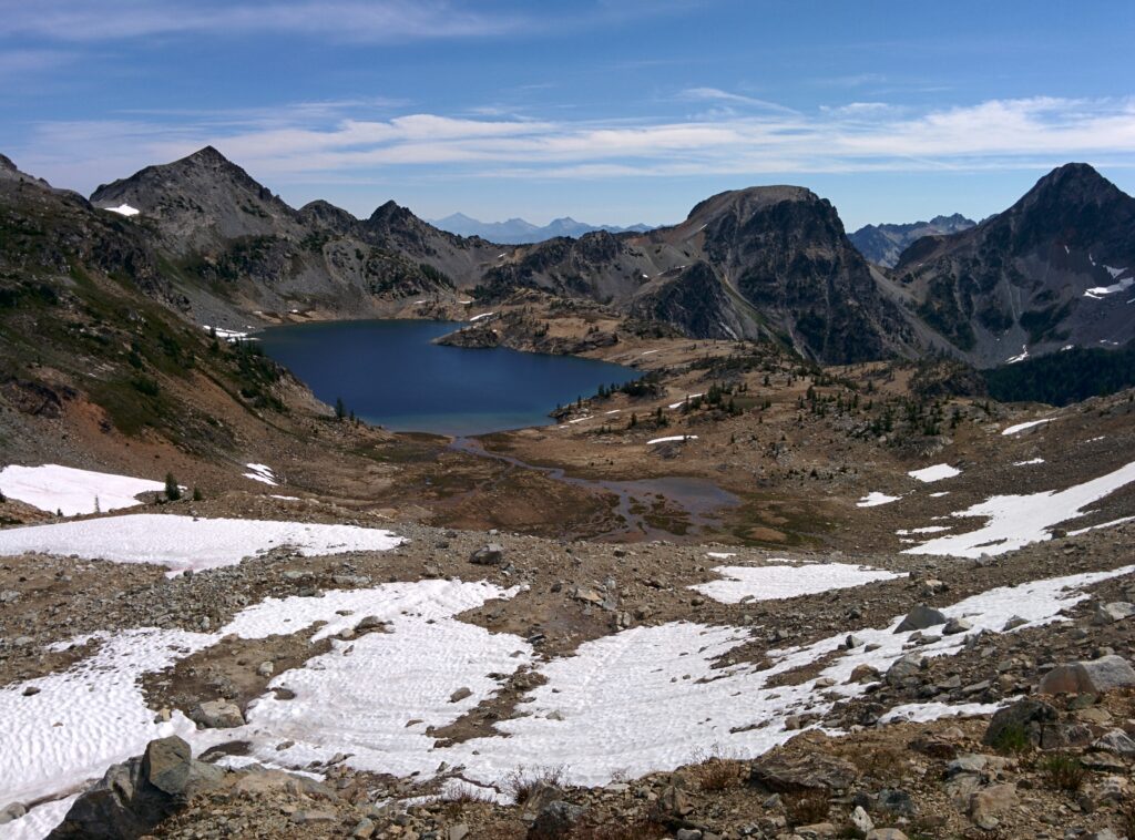
The city park books through CampSpot only, and its 2027 reservations open on January 1, 2027. RV sites run $65 a night, tent sites $25 in the shoulder season and $35 in the main season, with a $7 reservation fee, and the park holds the valley’s only dump station and its only showers. Up the road, the Forest Service campgrounds run first come, with two exceptions that book through Recreation.gov: Lake Creek splits its 18 sites half reservable and half first come, and the group sites take reservations.
Pine Flats, the first campground up the road at mile 14, holds six sites and a group site, the group site by reservation and the rest first come, and it is the valley’s working campground while the closure stands. Lake Creek, above it, splits its 18 sites half reservable and half first come in a normal year. The city park adds the valley’s practical services: a $5 dump station, a $5 boat launch that campers use free, coin showers, and a 3 p.m. check-in.
The city park’s season runs March 16 to November 13. Above Pine Flats, the Forest Service campgrounds stand closed under the fire order set out in the catch below, and below it Pine Flats runs its first come season. The valley’s water rule is a single instruction: carry your water in. No campground up the road promises drinking water a camper should plan around, so the Entiat is the one valley in this region where the water plan is made at home, not at the campground.
The catch right now is fire. The 2026 Little Giant Fire burned across the head of the valley, and the current closure order holds the upper road and every Forest Service campground from Fox Creek to the road’s end closed through April 30, 2027, unless it is rescinded sooner. Pine Flats, below the closure, and the city park at the mouth carry the valley’s camping while the order stands. Entiat City Park, Pine Flats, Fox Creek, and the rest of the road’s campgrounds are treated campground by campground in our Entiat camping guide.
Icicle Creek
Icicle Road runs west out of Leavenworth and ends at the trailheads for the Enchantments and the Alpine Lakes Wilderness. Eight campgrounds line the road and its side spurs, Eightmile, Bridge Creek, Johnny Creek, and Ida Creek among them. Tumwater Campground, at the entrance to the road on the Wenatchee River in Tumwater Canyon rather than on Icicle Creek itself, has been closed since 2014, with only its separate group site still booking. The road serves Leavenworth’s visitors and the wilderness traffic at once, and it is the valley we know best on foot: the Enchantments trips that anchor this page’s experience passage all started up this road, and the creek’s gorge reach is a walk we made in September 2022.
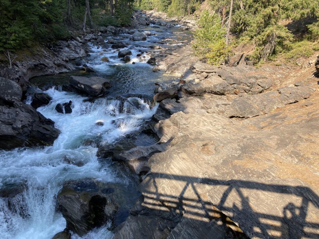
Eightmile, the campground nearest the wilderness trailheads that takes reservations, splits its sites about 60 percent reservable and 40 percent first come, and its reservations close three days before the arrival date. The rest of the road’s individual sites run first come to its end, paid on site. The canyon’s rates are the region’s steadiest: single sites at $24 a night across the road, doubles at $40 to $48, and the Tumwater group site at $152.
Eightmile carries the road’s fullest kit alongside its booking split: drinking water, a camp host, and firewood for sale, which is part of why its reservable sites go first. The road’s group camping sits at the Tumwater group site, across the river at the canyon’s mouth, booked apart from the closed campground it shares a name with.
The season runs generally May to October, the longest of the region’s Forest Service valleys. Water splits the road in two: Eightmile, Johnny Creek, Chatter Creek, and Rock Island carry drinking water, and Blackpine carries water, while three of the eight campgrounds carry none at all, and none of the eight has showers. A camper headed past the watered campgrounds packs water or a filter as a matter of course.
The catch is a gradient. The campgrounds nearest Leavenworth fill first, and the race eases with every mile up the road, so a first come site far up the canyon is a different bet from one near town. Parts of this road have also sat under flood repair closures in recent seasons, and storm damage can close a stretch in any season. Eightmile, Bridge Creek, Johnny Creek, and the rest of the road’s campgrounds are treated campground by campground in our Icicle Creek camping guide.
Salmon La Sac and the Cle Elum River
Salmon La Sac Road, SR 903, runs north from Cle Elum through Roslyn and Ronald, and 19 miles up it Salmon La Sac Campground sits between the Cle Elum and Cooper Rivers at 2,400 feet. Wish Poosh Campground stands on Lake Cle Elum, and Owhi Campground serves Cooper Lake, up the Cooper River side. The valley is the developed base for the Cathedral Rock country. It is also where our own backpacking here ran deepest. Peggy’s Pond and the climb of Mount Daniel came in August 2016, and Tuck and Robin Lakes stand on the same list.
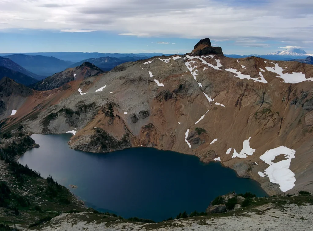
Salmon La Sac’s 69 sites divide into about 40 reservable and almost 30 first come, booked through Recreation.gov, and one part of the campground, the units up the Cooper River side, takes reservations only, whatever the campground’s first come label suggests. A single site runs $27 a night and a double $54, with firewood at $10 a bundle at the host site. Wish Poosh and Owhi run smaller and simpler on the same system, at the rates their entries carry.
Wish Poosh holds 34 sites on Lake Cle Elum’s shore, for tents and RVs, on the same split system without a published split count. Owhi, up the Cooper River side, is the valley’s walk-in: tent only sites reached on foot from its parking, first come, and the quietest camping in the valley for it.
At 2,400 feet the season runs late spring to early fall, May through September at the main campground, and the high sites run shorter. Salmon La Sac Campground itself carries drinking water. The walk-in campgrounds carry none. Wish Poosh’s water system is unreliable, its flush toilets out of order with portable toilets in their place, so a Cle Elum River camper packs water as the default and treats any campground supply as a bonus.
The catch is the split, and the midweek truth inside it. In high summer, a first come site at Salmon La Sac for a weekend effectively means arriving midweek, whatever the campground’s first come label suggests. Salmon La Sac, Wish Poosh, Owhi, and the rest of the valley’s campgrounds are treated campground by campground in our Salmon La Sac and Cle Elum camping guide.
The Teanaway and Blewett Pass
The Teanaway River forks northeast of Cle Elum, through ponderosa pine country the state manages as the Teanaway Community Forest. The forest runs 50,241 acres under the Department of Natural Resources together with the Department of Fish and Wildlife. Its three campgrounds, 29 Pines, Indian Camp, and the Teanaway Camping Area, take no reservations at all. North of the valley, US-97 crosses Blewett Pass toward Leavenworth, with Forest Service campgrounds at Swauk and Mineral Springs along the highway. The two halves pair naturally on one drive, a Cle Elum weekend that can end over the pass in Leavenworth.
Indian Camp is the forest’s horse camp, built for stock, with the North Fork trailheads above it, and the Teanaway Camping Area spreads along the river by the forest’s main road. The three campgrounds serve three different trips, day riders, horse campers, and river campers, inside one small forest.
The community forest campgrounds are the region’s simplest booking: there is none. A site is claimed by arriving, and a Discover Pass is the whole cost of the stay. The US-97 campgrounds run the Forest Service’s other simple form, first come with payment by Scan and Pay on site for the single sites, while the Mineral Springs group site takes a reservation.
The community forest campgrounds close for the winter and reopen in spring when conditions allow, and the US-97 campgrounds run mid May into the fall. Water is the valley’s planning fact: several campgrounds on this drive offer no drinking water at all, the community forest’s among them, so every Teanaway camper hauls water in or carries a filter for the river. Cle Elum, a few miles south, is the service town for everything else.
The catch is paperwork, two kinds in one valley. The community forest campgrounds run on a Discover Pass, and the pass is the whole cost of a site, while the national forest trailheads up the same road system ask for a Northwest Forest Pass, an interagency pass, or the day use fee instead. And one rule surprises people every season. Dispersed camping is not allowed anywhere in the Teanaway Community Forest, so its three campgrounds are the only legal way to sleep in the forest. The Teanaway Camping Area, 29 Pines, Swauk, and the rest of the campgrounds along this drive are treated campground by campground in our Teanaway camping guide.
Kachess Lake
Kachess Lake sits just east of Snoqualmie Pass, reached from Exit 62 on Interstate 90 and five and a half miles of Kachess Lake Road. Kachess Campground stands on the lake’s northwest shore, a large campground whose own sources count its sites two ways, over 100 on the Forest Service page and 150 on Recreation.gov. One group site sits inside it, and the East Kachess Group Site takes a whole group on its own across the lake. The valley is the region’s quickest trip, an hour from the city, and its day use shore at Gold Creek Pond, up by the pass, is a family swim pond that stands closed for restoration, with its reopening confirmation falling in December. Campers headed the other way from the pass, toward Lake Easton and Snoqualmie Pass, are in the country covered by our guide to camping near Seattle.
The pond sits in its own day use area at the valley’s pass end, separate from the campground, and the lake’s east shore carries dispersed camping for campers who bring everything and need no site at all. Between the reservable loops, the first come remainder, the group sites, and the dispersed shore, this one small valley runs every booking shape the region has.
Individual sites book through Recreation.gov on a six month rolling window, and the group sites book twelve months ahead. About 40 sites stand outside the reservation book as a first come remainder, and two of the campground’s loops and its group site take reservations only under a forest order. A single site runs $27 a night and a double $54, the campground’s internal group site $158, and the East Kachess Group Site $65, with extra vehicles and day use at $11 each. The East Kachess season runs May 27 to September 13, 2027, with its availability releasing April 1, 2027.
The campground’s own season runs early June to mid September, the shortest in the region, and the stay limit over it stands in a forest order the valley’s guide cites in its sources. The lake itself is the water story here, treated in the catch below, and the campground carries drinking water in season.
The catch is that Kachess is a reservoir. The water level falls across the season, the shoreline retreats, and late summer boat launching fails as the drawdown takes the ramps out of the water, so a swim and boat weekend belongs early in the season, when the mosquitoes that work the calm shoreline are the smaller price. Kachess Campground, the East Kachess Group Site, and the dispersed camping on the lake’s east shore are treated campground by campground in our Kachess Lake camping guide.
Booking the Central Cascades
Booking information for this region contradicts itself online, often enough that campers arrive having planned around the wrong rule. Some pages cannot even agree on whether a campground takes reservations at all. The systems below come from the agencies’ own pages. Learn them before the entries, because the same campground here often splits its sites between reservations and first come arrivals, and a plan built on the wrong half fails at the gate.
Forest Service campgrounds in both national forests take their reservations through Recreation.gov, or by phone at 877-444-6777. Many of them hold only part of their sites for reservation. The rest are first come, claimed on arrival, and no system tracks them. The Forest Service says the point directly on its Kachess page. It does not track the availability of first come sites, so whether one stands open is something a camper learns by arriving.
First come has mechanics of its own, and they reward the early and the flexible. A first come site is claimed by arriving and occupying it, and paid for on site, by Scan and Pay at the campgrounds set up for it. Nothing holds it from a distance. In high summer the region’s first come sites turn over in the morning, as departing campers leave, and a Thursday arrival fishes a different pool from a Friday one. The valleys’ cards name which campgrounds run this way; the entries name the hour by hour truth of each.
The split inside one campground is the region’s signature shape. Salmon La Sac’s 69 sites divide into about 40 reservable and almost 30 first come. Eightmile Campground, on Icicle Creek, runs the same shape at about 60 percent reservable and 40 percent first come. Reservations at Eightmile close three days before the arrival date. A campground in this region that “takes reservations” and one that “is first come” are usually the same campground, described from different ends.
The windows differ by system, and they are the working heart of a plan here. Washington State Parks opens its book nine months ahead and holds it open until 2 p.m. on the arrival date.
Recreation.gov campgrounds set their own windows on their listings, and they scatter wider. Kachess books its individual sites on a six month rolling window and its group sites twelve months ahead, and Eightmile’s three day close is the region’s shortest fuse. Entiat City Park books through CampSpot on the city’s own calendar, with its 2027 reservations opening January 1, 2027. The Teanaway Community Forest sits at the far pole, with no window at all because there is nothing to book.
One shape hides inside the split, and it catches people. A campground can hold a first come label while part of it takes reservations only. At Salmon La Sac, the units up the Cooper River side book by reservation alone, in fact whatever the campground’s general label says. Read the individual campground’s own listing for which part of it you are actually planning around, because the label on the campground is not the rule for every site in it.
The developed campgrounds on the east side forest, the Okanogan-Wenatchee, operate under a concessionaire permit, and the Forest Service names the operator as ExplorUS. The arrangement is mostly invisible to campers, except where it is not. At Kachess, the day use facilities are run by the concessionaire rather than the Forest Service, which is why the forest passes campers carry are not accepted for day use parking there. Day use at Kachess costs $11 a vehicle per day.
What a night costs runs in bands, and the bands are wide enough to plan around. Forest Service single sites sit in the high $20s across most of the region, $27 at Salmon La Sac and Kachess and $24 up Icicle Creek, and the Skykomish valley runs higher, its singles starting at $36. Doubles run $40 to $54 where they are offered. Lake Wenatchee State Park prices by its utility tiers, $31 to $43 for a standard site at peak and $41 to $51 with partial utilities. The Teanaway Community Forest charges nothing past the Discover Pass a camper already holds.
Entiat City Park prices like the small resort it is, $65 for a full hookup RV site and $25 to $35 for a tent site. Each valley’s guide carries the per-campground figures, and those entries are the authority over any band printed here.
Private campgrounds and RV resorts across the region book directly with each business, and the two Snohomish County parks on the Mountain Loop book through the county.
| System | Where it applies | How far ahead |
|---|---|---|
| Recreation.gov | Forest Service campgrounds in both national forests | Set for each campground on its listing. Kachess books six months ahead for individual sites and twelve for group sites, and Eightmile closes three days out |
| Washington State Parks reservations | Lake Wenatchee State Park | Up to nine months ahead, and as late as 2 p.m. on the arrival date |
| CampSpot | Entiat City Park | Through the city’s CampSpot calendar. Its 2027 reservations open January 1, 2027 |
| No reservations | The Teanaway Community Forest campgrounds | First come only, nothing to book |
| Each business direct | Private campgrounds and RV resorts | Varies by business |
| Snohomish County | Squire Creek and River Meadows county parks | Through the county’s own booking channel |
A camper who reads that Money Creek “takes reservations” and drives up on a Friday in July with no booking has planned on the campground’s first come half without knowing it exists. The valley where sites cost the most and the trains run all night is a poor place to learn that. The same camper with the split in mind books the reservable half in spring, or aims at a first come campground on purpose, early in the day. Nothing about the campground changed. The plan did.
No two valleys in this region book the same way. Before deciding whether to book or to arrive early, check the individual campground, because the answer changes from one road to the next.
The Alpine Lakes Wilderness and the Pacific Crest Trail
The Alpine Lakes Wilderness is the country most of the region’s areas lean against. The Forest Service puts it at approximately 394,000 acres, with more than 700 lakes, 615 miles of trails, and 47 trailheads, and it takes nearly 150,000 visitors a year. Two national forests administer it together, the Mt. Baker-Snoqualmie on the west and the Okanogan-Wenatchee on the east. Its trailheads stand at the heads of the region’s camping valleys, up Icicle Creek, the Cle Elum River, the Teanaway, and the Skykomish forks. A camper who never backpacks still plans around this wilderness, because its trailheads are where the region’s day trips go.
Its trailheads stand at the heads of the camping valleys, and its permit rules shape trips that start from the campgrounds below.
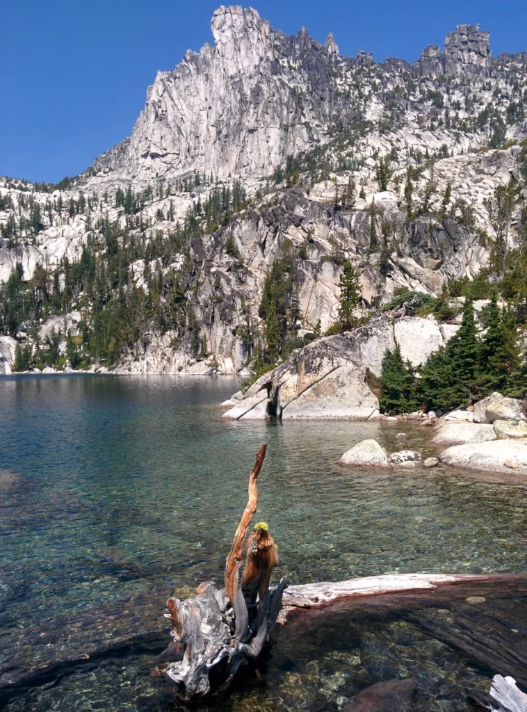
The Enchantments, inside the wilderness above Icicle Creek, run on the region’s overnight permit lottery. An overnight permit is required from May 15 through October 31. The permit names one of five zones, the Core Enchantment, Snow Lake, Colchuck Lake, Stuart Lake, and Eightmile and Caroline, with a Core permit good in any zone.
The advanced lottery runs once a year, applications from February 15 through March 1, and a second lottery runs daily through the season for permits close to the trip, entered from inside a geofence area near Leavenworth. The application costs $6, and the permit itself runs $5 per person per day. The lottery, the five zones, and the routes are treated in full in our Enchantments guide.
Day trips into the wilderness run on a simpler rule. They need no lottery: a free day use permit picked up at the trailhead covers the hike, and the car at the trailhead displays a Northwest Forest Pass or an interagency pass. Outside the permit season, overnight hikers register at the trailhead and need no permit at all. The trailheads fill before dawn in season, so the parking plan is part of the trip plan, and a full lot at the Stuart Lake trailhead is a normal Saturday, not a surprise.
Beyond the Enchantments, the wilderness asks less of an overnight trip. Outside the Enchantments permit area, no lottery runs: backpackers self-register at the trailhead on a free permit, and the wilderness rules posted at the boundary, group size among them, govern the trip. The campgrounds on this page sit outside the boundary, at its trailheads, which is what makes them the base camps for all of it.
The Pacific Crest Trail crosses the whole region between its two passes, and it is the line that ties the page’s geography together. The Forest Service measures the Stevens Pass to Snoqualmie Pass segment at 67 trail miles, and Washington Trails Association’s page for the same segment, Section J, gives 74.7 miles one way. Both describe a roadless crest traverse through the wilderness, past at least a dozen lakes, with no road crossing from pass to pass. We have hiked pieces of it around Snoqualmie Pass in both directions, and its high stretches hold snow late, with places that stay impassable until well into August in a normal year.
Seasons and winter
The region’s campgrounds mostly run a late spring to early fall season, and the shape differs by slope. On the west slope, Verlot Campground lists its season as May to September, and Money Creek carries a seasonal closure with its dates posted on its Recreation.gov listing. On the east slope, the campgrounds on Icicle Creek run longer, with Eightmile generally open May to October, while Kachess, at 2,250 feet on its lake, runs early June to mid September. Altitude shortens everything: the high campgrounds up the Cle Elum and Chiwawa roads open last and close first.
One road in the region closes outright. The Mountain Loop Highway shuts gate to gate for winter, Deer Creek Gate to Bedal Creek Gate, normally from early November until the end of May, and reopens in stages from the west. The closure is a road closure, not a suggestion: the loop’s campgrounds sit behind the gates, and the season for the whole valley is the gate season. Non-motorized use continues through the closure, which is why the loop reads as open in winter trip reports while no campground up it can be reached by car.
The shoulder seasons are the region’s quiet bargain, and they are not symmetric. May is a west slope month: the loop’s gates and the high roads still stand closed or just opened, and the low river campgrounds carry the camping. October belongs to the east slope, where Icicle Creek and the Teanaway run latest under the larches. A camper who learns which slope owns which shoulder doubles the region’s season without winter camping at all.
Lake Wenatchee State Park stays open all year, but its campgrounds are snow bound. They close once snow arrives, typically between October and mid November, and reopen in spring, typically April to mid May. Winter camping runs first come in a designated part of the South Park day use area, and it is the region’s one developed winter camp. The Teanaway campgrounds close for the winter and reopen in spring when conditions allow, and Kachess simply ends in mid September. A winter trip in this region is a state park trip or a snow camp of your own making, and the valleys’ guides carry the per-campground forms.
Storm and flood damage belongs in the same planning frame, for the whole region. The December 2025 floods are the standing example. A series of atmospheric rivers brought record rain in mid December 2025. Inside this region, US-2 closed from Skykomish to Leavenworth, Icicle Road opened to local traffic only past Eightmile Campground, the Little Wenatchee and Chiwawa River roads were severely damaged, and the Department of Natural Resources closed the Teanaway Camp and 29 Pines campgrounds until spring. Those closures are history, not current access, and several have changed since.
A campground road in this region can close after any major storm, at any point in the season. Check the managing forest’s alerts page, the campground’s own page, and WSDOT for the state highway before every trip.
Fire restrictions and emergencies
Fire and smoke are an east side season rather than an event. Summer burn restrictions are the default expectation east of the crest from about June through September, and in fire years smoke settles into the east side valleys and can sit over Lake Wenatchee for days. A campfire is never a settled plan on the east side in summer; it is a decision made at the campground, under the rules standing that week.
The rules stack, and the stack has an order. The agency that runs the campground sets the rule on its own land first. A Forest Service order governs national forest land, the state parks system’s burn ban level governs inside Lake Wenatchee State Park, and the Department of Natural Resources’ restrictions govern in the Teanaway Community Forest. The county layer sits around that, and a county burn ban can be stricter than the agency’s rule and binds the private land and access corridors either way. A less strict layer never loosens a stricter one.
The standing instruction is short. Assume restrictions, and check the current fire rules with the agency that runs the campground and with the county before any campfire, anywhere in the region. Washington State Parks posts its burn ban levels on its alerts and advisories page, and each national forest posts its orders on its own alerts page.
The region spans four counties, Snohomish and King on the west slope and Chelan and Kittitas on the east, so the county half of that check names a different office in each valley.
Where fires are allowed, they belong in the campground’s fire rings and grates, built small, and never left until they are cold to the touch. In a restricted week the answer is not a smaller fire; it is no fire, and the camp stove comes out instead. Firewood is best bought near the campground, from the host where the campground sells it, rather than hauled across the crest.
The region’s own recent history is the reason this section stands on its own. The 2026 Little Giant Fire closed the head of the Entiat valley, campgrounds and road together, under an order that runs through April 30, 2027. Fire here does not only restrict campfires; it closes camping. The valleys’ guides carry each closure in its dated form, and the check before a trip is the same one: the campground’s page, the forest’s alerts, and the county.
Emergency readiness in this region starts with distance. Most of these valleys are single roads with no second way out, and the gateway towns are the service line: Leavenworth and Wenatchee on the east side, Cle Elum for the southern valleys, Entiat at its valley’s mouth, Gold Bar and Granite Falls on the west. In an emergency, 911 comes first, and the county dispatches from there. The valleys’ guides name each valley’s services, and a camper with a medical concern plans around the drive out, not around the campground.
Camping with an RV in the Central Cascades
Hookups and the longest sites live at the private RV resorts and parks, along Icicle Road outside Leavenworth, around Fish Lake and Plain, at Cle Elum and Roslyn, and at Gold Bar and Skykomish. Entiat City Park is the public exception at its valley’s mouth, with 31 RV sites on the Columbia shore, 29 of them full-service. Lake Wenatchee State Park is the public campground built with larger rigs in mind, its North Campground carrying partial utility sites. The Forest Service campgrounds are the region’s dry camping, the term for sites with no hookups of their own, in older loops whose site lengths vary from campground to campground. Check the length on each campground’s own listing before committing a rig to a valley road.
Dump stations are scarce in this region, and no valley has many, so an RV trip here plans its dumps around the towns rather than the campgrounds. Two public exceptions stand out: Lake Wenatchee State Park’s trailer dump at $5, and Entiat City Park’s dump station, also $5 a visit and the only one in its valley. And on the Mountain Loop Highway, the gravel middle sets the region’s hardest RV limit.
The shape to plan around is simple. A rig that needs hookups every night camps from the towns and the two public exceptions, and treats the national forest valleys as dry camping excursions between them. A rig that can run dry for a few nights can use most of the region, checking site lengths valley by valley. Either way, the valleys reward a smaller rig: these are single roads climbing into mountains, and the campgrounds were built before long trailers were common.
A first Central Cascades camp
A first trip in this region goes best where the booking is certain. Lake Wenatchee State Park is the region’s easiest first camp, a reservable lakeside campground with the lake for swimming and the river valleys behind it, booked up to nine months ahead through the state system. Go in the main season, and book early, because its summer weekends fill fast.
Kachess Lake is the second route in, the big campground an hour from the city. Its sites split between reservations and first come, its group site takes a reservation of its own, and an early season weekend there gets the lake before the drawdown pulls the shoreline back.
Salmon La Sac is the first camp for a camper who wants to learn how the region’s first come camping works, and the route in is its reservable share. Book one of the roughly 40 reservable sites for the first trip. Treat the first come share as a weekday or shoulder season play for a later one, not as a Friday arrival plan.
Entiat City Park is the fourth route in, and the one for a camper who wants hookups with the first trip. It books through CampSpot, holds the region’s only full hookup sites in a public campground, and stands in a small town on the Columbia with groceries and fuel in walking distance. Its season opens in March, weeks before the high valleys, which makes it the region’s earliest first camp as well. The park and its valley are treated in our Entiat camping guide.
Frequently asked questions
What is the best area in the Central Cascades for a first camping trip?
Lake Wenatchee and Kachess Lake, for the same reason. Both let a first timer reserve a site instead of racing for one, one at a state park on a big lake and the other at a big campground an hour from Seattle. Salmon La Sac joins them once the region’s booking split makes sense, entered through its reservable sites, and Entiat City Park joins them for a camper who wants hookups.
When do Central Cascades campgrounds open?
Most open in May and close in September or October, and the high campgrounds run shorter. Kachess opens in early June and closes in mid September. Eightmile, on Icicle Creek, generally runs May to October.
Entiat City Park opens earliest, on March 16. The Mountain Loop Highway’s campgrounds follow its road, which closes gate to gate from about November to the end of May. Each valley’s guide carries its campgrounds’ own dates.
Do I need a reservation, or can I just drive up?
Both, and the answer changes by valley and by campground. Lake Wenatchee State Park, the reservable halves of the split campgrounds, and Entiat City Park all book ahead. The Teanaway Community Forest campgrounds and Glacier View take no reservations at all. Most Forest Service campgrounds split their sites between the two, so the honest answer for any single campground sits in its valley’s guide.
Which pass do I need?
It depends on the valley, and this region layers its passes like nowhere else in the state. A Discover Pass covers the state park’s parking and is the whole cost of a Teanaway Community Forest campsite. The national forest trailheads ask for a Northwest Forest Pass, an interagency pass, or the day use fee. Reservation fees run through Recreation.gov or the state system on top of any pass. No single pass covers the region.
Can I visit the Enchantments without a permit?
For a day trip, yes. Day hikers need no lottery, only the free day use permit at the trailhead and a pass displayed on the car. Overnight trips run on the permit, May 15 through October 31, through the February lottery or the daily in-season lottery near Leavenworth. Our Enchantments guide treats the system in full.
Can I bring my dog?
At the region’s campgrounds, yes, on a leash, and the rule changes by agency. The state park, the national forests, and the community forest each set their own leash and control rules, and the wilderness adds its own. Each valley’s guide carries its campgrounds’ form of the rule.
Can I camp in the Central Cascades with an RV?
Yes, and the region’s hookups concentrate where the towns are: the private resorts around Leavenworth, Cle Elum, and Gold Bar, Entiat City Park’s full-service sites, and Lake Wenatchee State Park’s partial utility sites. The Forest Service campgrounds are dry camping with site lengths that vary by campground, and the Mountain Loop Highway’s gravel middle is the limit to plan around.
What does camping cost in the Central Cascades?
A Forest Service single site runs $24 a night up Icicle Creek and $27 at Salmon La Sac and Kachess, and the Skykomish valley runs higher, its sites starting at $36. Doubles run $40 to $54 where they are offered. Lake Wenatchee State Park runs $31 to $43 for a standard site at peak and $41 to $51 with partial utilities.
The Teanaway Community Forest campgrounds charge nothing past a Discover Pass. Entiat City Park runs $65 for a full hookup RV site and $25 to $35 for a tent site. Each valley’s guide carries the per-campground figures.
Which valley is best for swimming?
The two big lakes. Lake Wenatchee pairs a state park swim beach with Glacier View’s walk-in shore on the same water, and Kachess Lake offers the quickest swim trip in the region, an hour from the city, with Gold Creek Pond at its pass end as the families’ pond, closed for restoration with its reopening confirmation falling in December. Go early in the season at Kachess: the reservoir’s drawdown pulls its shoreline back as summer runs.
Can I camp in the Central Cascades in winter?
In one developed place, yes. Lake Wenatchee State Park runs winter camping first come in a designated part of its South Park day use area while its main campgrounds stand snow bound. Everywhere else, the season ends: the Mountain Loop’s road closes gate to gate, the Teanaway campgrounds close for the winter, and Kachess ends in mid September. Winter camping beyond the state park is snow camping on your own terms, outside the developed system.
Sources
Forest Service, Mountain Loop Highway, and the forest’s alerts page for the loop’s gate season and the current closure state.
Forest Service, Okanogan-Wenatchee National Forest alerts, including Forest Order 06-17-07-2026-48, the Little Giant Fire closure order for the Entiat valley, cited here by number only.
City of Entiat, Entiat City Park and its CampSpot reservation calendar, for the park’s sites, rates, and season.
Forest Service, Alpine Lakes Wilderness
Forest Service, Kachess Campground
Forest Service, Salmon La Sac Campground
Forest Service, Eightmile Campground
Forest Service, Glacier View Campground
Forest Service, Nason Creek Campground
Forest Service, Money Creek Campground
Forest Service, Verlot Campground
Recreation.gov, Enchantment Permit Area
Recreation.gov, Kachess Campground
Washington State Parks, Making Reservations
Washington State Parks, Lake Wenatchee State Park
Washington State Parks, Wallace Falls State Park
Washington State Parks, Camping
Washington State Parks, Discover Pass
Washington Department of Natural Resources, Teanaway Community Forest
Washington Trails Association, Pacific Crest Trail Section J
Washington Trails Association, What winter flooding will mean for towns and trails